
Real estate
Drones for real estate: 5 shots that sell a property
Location, plot, facade, neighbourhood, FPV fly-through: the five aerial shots that get listings clicked.
By Maxime Palasthy · · 7 min read ·
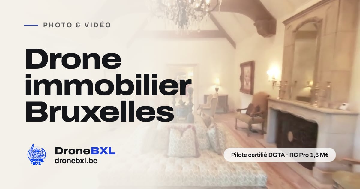
A property listing is won or lost in seconds. The buyer scrolls, looks at the first image, then decides to click or move on.
This article sets out five aerial shots. Each answers one specific buyer question. Then come shoot preparation, the Brussels flight constraints and the deliverables.
What a buyer wants to know before visiting
A viewing costs time. Before booking one, the buyer wants to place the property, measure the plot and judge the surroundings.
Ground-level photos answer those three questions badly. A wide-angle living room shows a room. It shows neither the plot nor the street.
A drone works at the scale of the building and the neighbourhood. Each aerial shot earns its place by answering a question, not by looking good.
Order matters too. An edit that starts wide and moves inward follows the way a buyer reads a listing.
- Where is the property, and what does the street look like?
- What is the real shape of the plot, and which way does it face?
- What condition are the roof and the facades in?
- What is around it: school, park, tram stop, shops, building site?
- How do the rooms connect, from the garden to the living room?
Shot 1 — The establishing view
The first shot places the property on the buyer's mental map. Drone at mid height, camera tilted down, building centred in frame.
A slow rise works well. The frame starts on the roof, climbs, then reveals the street, the neighbours and the main roads.
The open category caps flight at 120 metres from the closest point of the surface. In Brussels, geozones often push that ceiling lower.
Low sun serves this shot. Early morning or late afternoon, volumes and roof pitches separate cleanly.
- Height: high enough to show context, low enough to recognise the building.
- Camera angle: between 45 and 60 degrees down.
- Useful length in the edit: five to eight seconds.
- Avoid: the pure top-down shot, which flattens everything and loses the street.
Shot 2 — The plot from above
The top-down shot has one job: showing the shape of the land. Boundaries, garden depth, building footprint, access, parking.
A written listing gives a surface in square metres. That figure says nothing about shape. A narrow strip and a square plot do not live the same way.
Frame the whole plot with a margin. Land cut off at the edge of the frame breaks the read.
Keep north in the same place across every top-down view of one property. Consistency helps comparison.
Garden orientation shows better with two takes. One in the morning, one late afternoon, at the same height.
Shot 3 — The facade at roof height
At cornice height the facade reads without distortion. From the pavement, a wide-angle lens tips the vertical lines.
This shot also serves an honest seller. A sound roof shows. A replaced gutter shows. The buyer arrives informed.
A slow lateral track, parallel to the facade, gives the best result. Constant speed, constant height, camera level.
For a terraced house, frame one bay wider on each side. The property then sits inside its row.
- Flight parallel to the facade, at cornice height.
- Camera near level, to keep verticals straight.
- Two passes: a slow one for the edit, a return one to check the area.
- Stills as well, useful for the technical file and the listing.
Shot 4 — The neighbourhood and what it offers
A property sells with its neighbourhood. Park, school, tram stop, shops, canal: those markers weigh on the decision.
The neighbourhood shot starts on the property and pulls away. The viewer keeps the thread. A shot that starts elsewhere loses its anchor.
One rule of restraint applies: show what is there. A building site next door will show up at the viewing anyway.
This shot carries a strong privacy constraint. Neighbouring gardens, terraces, windows: those images fall under the GDPR as soon as someone is identifiable.
Framing handles part of the problem. Blurring faces and number plates handles the rest, in the edit.
Shot 5 — The FPV fly-through, garden to living room
The FPV fly-through films the property in one continuous move. The drone leaves the garden, passes a patio door, crosses the living room, climbs the stairs.
It answers a question photos never handle: how the rooms connect. The viewer feels the distance between them.
The flight uses a ducted cinewhoop. Those ducts cut the risk when the aircraft touches a wall or a piece of furniture.
With no GPS indoors, position hold disappears. The pilot holds the aircraft by hand, from take-off to landing.
Preparation counts more than the flight. Recce, room order, doors open, curtains pulled back, floor cleared.
- A good take runs twenty to forty seconds, with no cut.
- Plan several attempts: the first one is a rehearsal.
- Keep occupants out of frame, or brief them properly before they appear.
- Software stabilisation in the edit, with a slight crop.
Preparing the shoot and flying by the rules
The recce happens before shoot day. Address, geozones, obstacle heights, sun direction, garden access.
The BCAA publishes UAS geographical zones on the Droneguide platform. Each zone's access conditions sit there. Check them before every flight.
Brussels is dense. Zone EBR-01 covers certain public institutions, including European Union buildings, from ground level to 4,500 feet AMSL.
The subcategories set the distance to people. In A2, the minimum horizontal distance is 30 metres, cut to 5 metres in low-speed mode.
In A3, the flight stays at least 150 metres from residential, commercial, industrial or recreational areas. In town, that margin rarely holds.
Warn the neighbours and the agency. An announced flight goes better than a surprise one.
- Weather: wind, rain and light decide the slot.
- Access: keys, code, gate, someone on site.
- The property: shutters open, bins away, cars moved where possible.
- Safety: clear take-off area, uninvolved people kept back.
Deliverables, formats and privacy
A shoot produces two families of files. Stills for the portal and the sales file, video for the property page and social.
Property portals display horizontal images. YouTube treats 16:9 as the standard player ratio on a computer.
Social platforms want vertical. Instagram documents the aspect ratio of its reels in its help centre.
Shoot wide, crop later. A shot filmed in 4K takes a vertical crop with no visible loss at 1080.
Blurring happens in the edit, not after publication. Faces, number plates, neighbours' windows.
A Brussels property advert must also state the building's energy class, clearly and understandably.
DroneBXL films property in Brussels and across Belgium, on standard drones and on FPV.
- High-resolution horizontal stills for the portal and the sales file.
- 16:9 video for the property page and YouTube.
- Vertical cropped version for Instagram and stories.
- A fifteen to twenty second cut-down, as a first hook.
- Source files kept, in case the listing moves to another channel.
Sources
- Implementing Regulation (EU) 2019/947 — EUR-Lex
- FPS Mobility and Transport (BCAA) — OPEN A1/A3 category (in French)
- FPS Mobility and Transport (BCAA) — OPEN A2 category (in French)
- FPS Mobility and Transport (BCAA) — Geographical zones (in French)
- Droneguide — UAS geographical zones map
- Ministerial Decree of 21 December 2020 — fixed UAS geographical zones
- General Data Protection Regulation (EU) 2016/679 — EUR-Lex
- Belgian Data Protection Authority — Cameras and your privacy (in French)
- Brussels Environment — EPB certificate, advertising obligations (in French)
- YouTube Help — Video resolution and aspect ratios
- Instagram Help — Reel size and aspect ratios
A specific question about your project
Ask it directly. We reply within 24 hours, free quote included.